Galerse (Robe)
WALK MORE – WORRY LESS
Galerse (Robe)

Reset Apartments
Forest/Macadam road
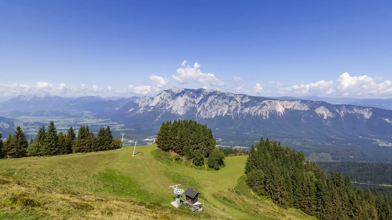
Galerse
Also suitable for mountain cyclists!
The walking path to Galerš is suitable for jogging or mountain biking. This is where the “downhill” course of the Robe Twist is located. The track is 3 km long and popular among all those looking for adrenaline pleasures, as it is quite challenging.

Meadows are among the most colorful and diverse living environments
From the apartments, head left towards Podkoren, and after a few dozen meters turn right across the regional road and the bridge over the Sava River. Continue to the forest, where you turn right along the forest path all the way to the wider macadam road. Turn right again and descend back to the Sava River. Follow the macadam path that leads you past Kranjska Gora along the right bank of the Sava River. At the first bridge, you continue straight, but the road itself soon turns sharply to the right and begins to climb the slope.
The last part of the route is flat and leads over pastures, where even today the surrounding farmers graze their cattle, and it also offers a wonderful view of the Julian Alps, which are located on the opposite side of the valley. The forests above the last part of the trail are well-known mushroom-picking grounds, extremely popular among many mushroom pickers.
Return along the same route, or through Kranjska Gora village center.

Image Gallery