Krnica Valley
Leave the road, take the trails
Krnica Valley
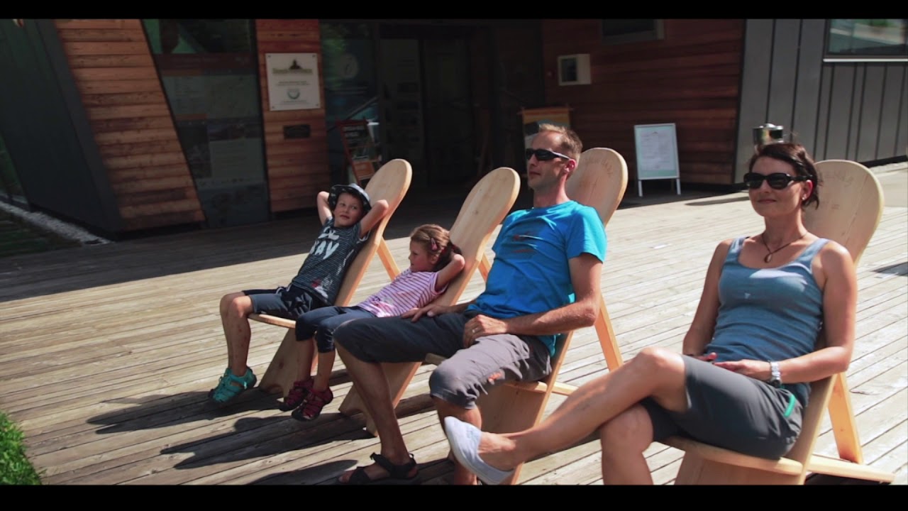
Reset Apartments
Kranjska Gora
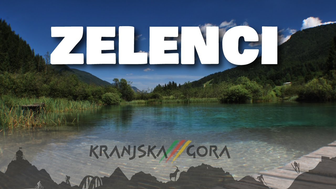
Jasna Lakes
Krnica Valley
Easy
Elevation: 811 m - 1.119 m
7.9 km
308 m of elevation
1 h 50 min walk
Asphalt - Macadam
MUST VISIT
Jasna Lakes
Krnica Lodge
WHERE TO NEXT?
Tour under Kriška wall
Vrsic mountain pass
The route is suitable for mountain bikers!
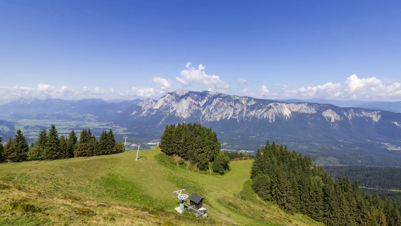
The Krnica Valley Trail is one of the most popular hiking destinations in Kranjska Gora, as it is relatively gentle and easy. The valley belongs to the Triglav National Park and is surrounded by many peaks of the Julian Alps, which offer magnificent views of the mighty walls and peaks of Škrlatica, Prisank, Razor… These surround the valley from almost all sides. The valley is also one of the starting points for hikes in the surrounding mountains, and in winter it is a paradise for ski touring skiers.

The Krnica hut is almost completely covered with a blanket of newly fallen snow.
You will have to overcome a little more than 300 m of elevation gain to reach the Krnica lodge, but you will hardly notice it because the trail is evenly sloped from start to finish. Due to its popularity among hikers, the valley is quite busy at weekends, so you should go during the week.
How to get there
From the Reset Apartments, turn left along the cycle path back to Kranjska Gora. In the center, turn right to continue to the Best Western Hotel, where you turn right onto Vršiška cesta (‘Vršiška road’). In just a few minutes you will arrive at the first obligatory stop – Lake Jasna. You can cross the road on the macadam path that runs between the right bank of both lakes and the Pišnica River. Continue to the bridge over the river, where the macadam trail to Krnica branches off to the left. There is also a sign indicating whether the Krnica lodge is open.
The macadam trail along the Pišnica river is well-maintained and properly signposted. The last part of the trail leads through the forest and takes you to the Krnica lodge, which is open every day during the tourist season and at least at weekends during the off-season. Here you will be able to refresh yourself with local delicacies and ‘spoon meals’, and we recommend the lodge as the final destination of your hike.
If you like cycling, you can also go mountain biking.
Activities
The banks of the Pišnica river are famous for their snow-white gravel and are very interesting for younger children with their many small dead channels. Here you can have a family picnic while the children can explore nature and play by the water.
If the path to the lodge is too short for you, you can continue to the walls of Križ, which close off the valley path, or you can choose one of the many mountain hikes that lead to the peaks of the surrounding mountains.
View of the surrounding mountains:

- Rušica (2.096 m)
- Špik (2472 m)
- Škrlatica (2.740 m)
- Stenar (2.501 m)
- Dolkova špica (2.591 m)
- Križ (2.140m)
- Kriški podi (2.050 m)
- Razor (2.601 m)
- Prisank (2.547 m)
- Goličica (2.101 m)
Image Gallery


Video